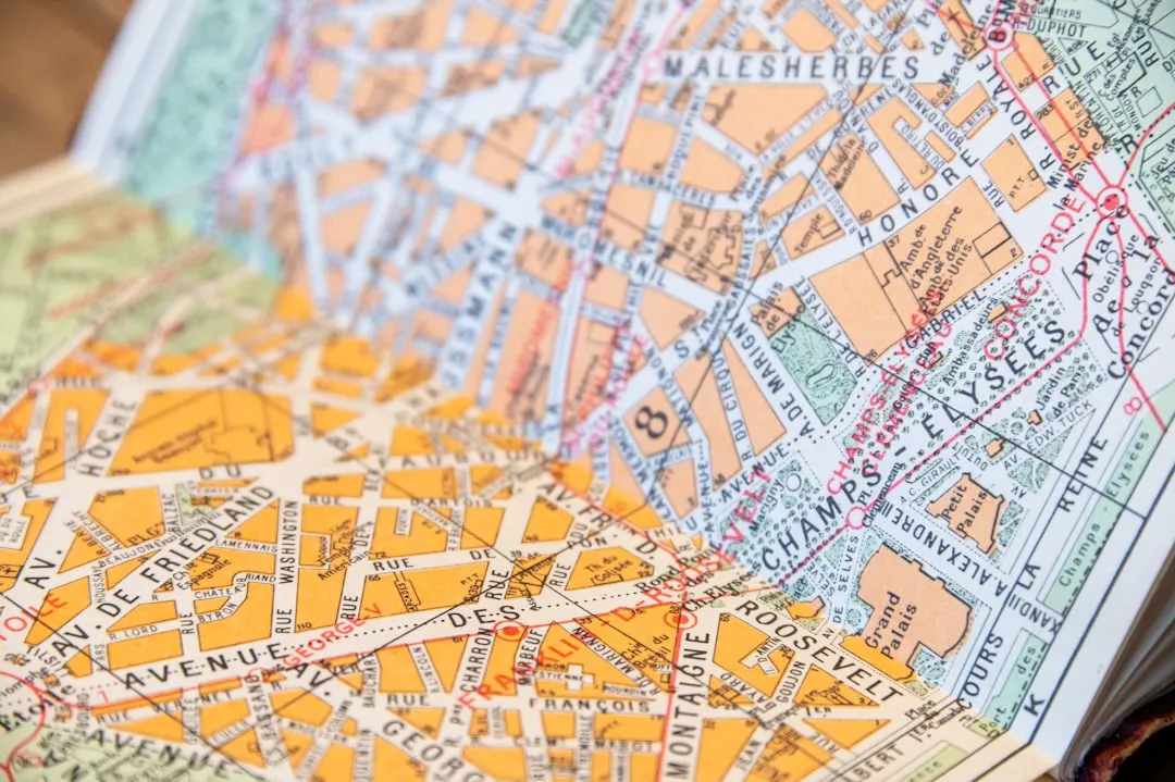
Apple announced today at WWDC that Apple Maps is about to get a lot more detailed with its inclusion of floor plans of shopping malls and airports. This will be a welcomed feature to Maps as users will be able to quickly see which stores the malls have and how to get to them easily. The feature will also allow consumers to know exactly where their gates may be to get to their flights faster, or where to grab coffee. These maps will be created for cities such as Boston, New York Chicago, Hong Kong, London and several other major cities, presumably with more to come.
Additionally, Maps is going to get lane guidance and speed limits for driving directions to further improve the long ignored mapping service. These features come with a new "Do Not Disturb While Driving" option to get rid of potential distractions like text messages, making it easier and safer for drivers to navigate unfamiliar areas.
Keep an eye out for more posts regarding announcements at WWDC and learn how to watch.
- Follow Gadget Hacks on Facebook, Twitter, Google+, and YouTube
- Follow Apple Hacks on Facebook, Twitter, and Pinterest
- Follow WonderHowTo on Facebook, Twitter, Pinterest, and Google+
Cover photo by Chris Leipelt/Stocksnap.io



















Comments
Be the first, drop a comment!